There at GDC, we specialize in geospatial solutions that support sustainable land and water management across India. Our approach blends GIS, remote sensing, and AI analytics, enabling better planning for urban development, climate resilience, and resource conservation. We deliver insights that empower smarter infrastructure, policy, and planning decisions.
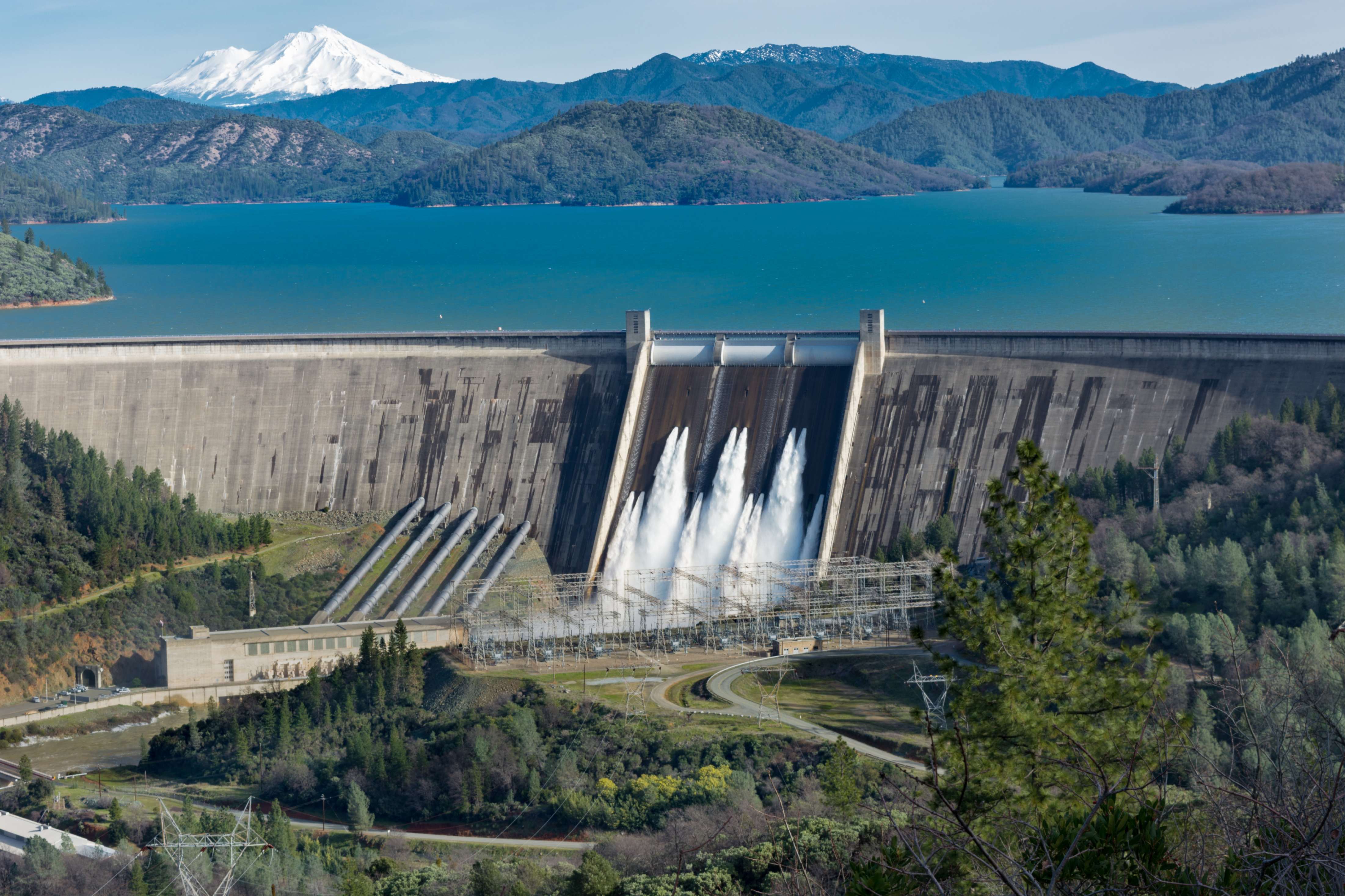
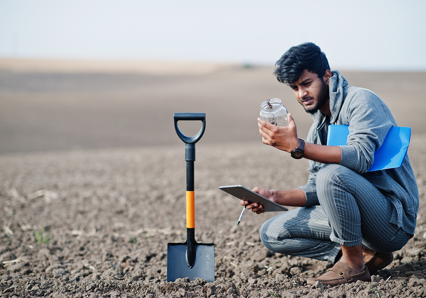
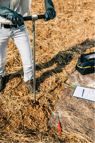
- Soil & Groundwater Mapping: Identifying viable land use and water sources.
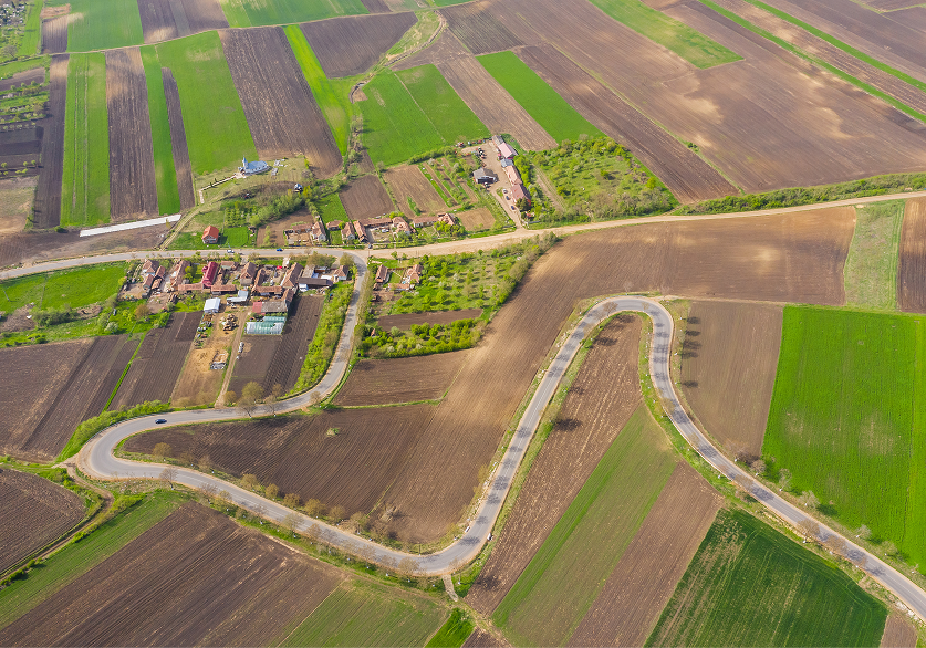
- Urban & Regional Planning: Supporting smart city development with spatial insights.
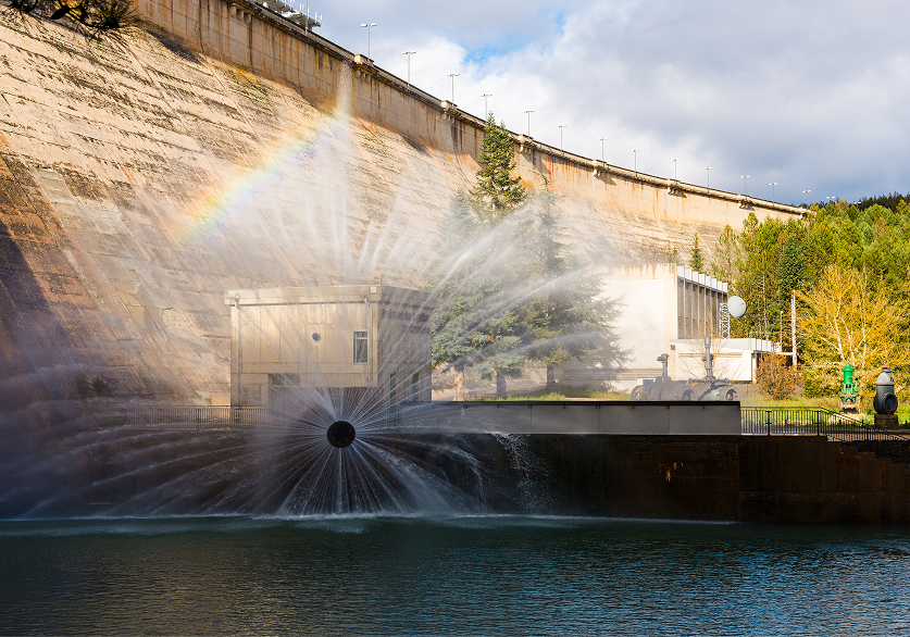
- Hydrological Modeling: Tracking seasonal water flow and rainfall patterns.
- Coastal Zone Management: Assessing erosion risks and climate vulnerabilities.
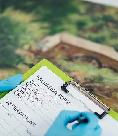
- Environmental Risk Assessment: Monitoring ecological health and land change.
- Infrastructure Mapping: Guiding sustainable development through spatial intelligence.
Our expertise ensures that we address every dimension of land and water resource planning, from environmental assessment to urban resilience. By combining geospatial intelligence with real-world data, we enable solutions that support sustainability, climate readiness, and informed decision-making.